
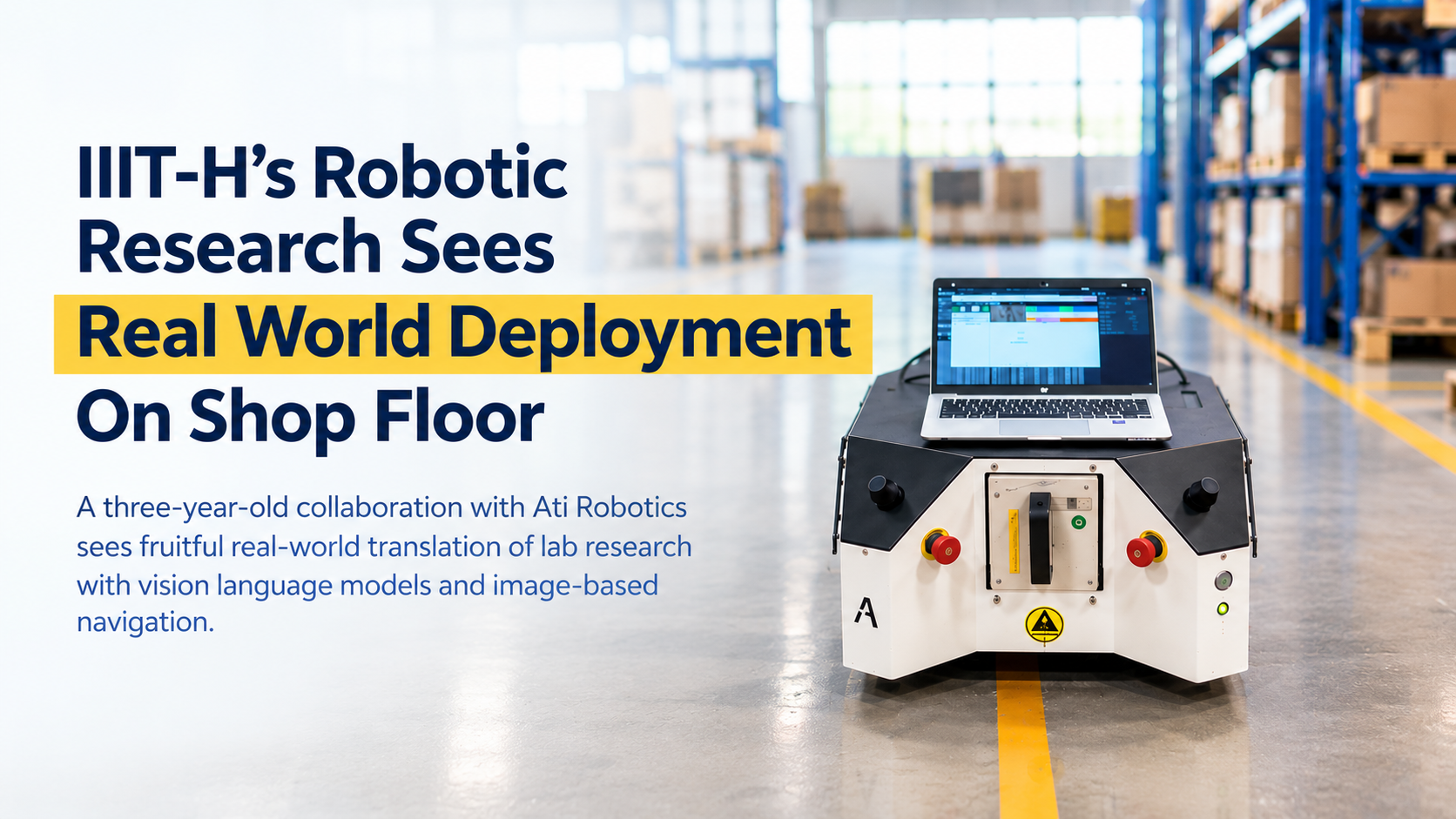
A three-year-old collaboration with Ati Robotics sees fruitful real-world translation of lab research with vision language models and image-based navigation.
Recently when an AMR (Autonomous Mobile Robot) drove itself to a specific object across Ati Robotics’ factory floor, there was much cheer. Not so much for its assignment because the task itself was rather simple. “Our robots perform harder things in customer factories every day,” said their company spokesperson explaining that the run was impressive for the basis on which the robot navigated. It had no LiDAR occupancy grid, no scan-matched pose and no metric map. Instead, there was a camera, a sequence of images from an earlier walk through the space and a 3D foundational model turning pairs of those images into geometry. And all this was possible thanks to a long-running partnership with IIIT-H’s Robotics Research Center that has been experimenting with a non-LiDAR-based technology for robotic navigation.
Video Link: https://blogs.iiit.ac.in/wp-content/uploads/2026/10/WhatsApp-Video-2026-10-26-at-12.32.22-PM-1-1.mp4
LiDAR is a sensing technology that helps AMRs navigate by mapping their environment, estimating their own position and orientation through a technique called SLAM (Simultaneous Localization and Mapping). “Humans do not navigate with 3D coordinates. Our sense organs detect the surroundings, then by combining visual cues, memory and a sense of movement, we figure out where we are. If we need to get to Point B from Point A, we use our knowledge of the destination and surroundings to decide how to go; we continuously adjust our plan, alter our route if one is blocked, predict what others may do, swerve to avoid hitting someone and so on,” says Prof. Madhava Krishna, explaining that the research team tried out something similar for AMRs using vision language models.
What They Did
Rather than using heavy, dense LiDAR maps which require huge storage and computation, the IIIT-H researchers experimented with sparse localization. It is a method typically used in computer vision and robotics where a camera or robot’s position can be estimated using limited or incomplete data or even landmarks. In an outdoor setting, this would mean decomposing a scene into landmarks such as traffic signals, advertisement billboards, buildings, trees and more. “It’s like if I look at a road and then see a mall on my right, a vegetable shop on my left, I will localize myself in terms of these recognizable landmarks. We used foundational AI algorithms to do exactly the same thing and by doing that we were able to reduce the map into a much sparser representation in terms of the landmarks,” elaborates Prof. Krishna. In an indoor setting like a warehouse, the scene is decomposed into indoor landmarks like “next to the door,” “opposite the elevator” and so on.
Another navigation model the IIIT-H team probed was if the robot could be instructed to travel to a destination by indicating a point (a pixel) in an image versus a definition of precise co-ordinates. In a warehouse setting, the goal could be a particular pallet or a docking location. For this, the robot uses visual information to guide its movement towards the destination without having to construct and navigate through a conventional 3D-coordinate map. “This is known as image-based navigation,” says Prof. Krishna. The AI model in this case looks at two images of the same area and works out which pixels in the photos show the same real-world spot and roughly how far each pixel is in 3D. Then it calculates a cost image to see which directions are cheaper or more expensive.
Power Of Translation
“This line of research began in 2023 with a question: how do humans navigate visually, using semantics, topology and local geometry? We built a navigation stack that defines mapping, localization, planning and control simply through relative connectivity of image segments,” says Prof. Sourav Garg, RRC. The work has resulted in research published in leading forums such as the IEEE International Conference on Robotics and Automation, the Annual Conference on Neural Information Processing Systems, and the Conference on Robot Learning. The team has transferred code to the industry partner for testing and deployment in a warehouse-robot environment.
It is gratifying for the RRC team that research does not remain confined to academic publication but is taken up by industry and explored in practical settings. “The deliberately modular design of this navigation stack has allowed continuous improvements in our academic goal of an RGB-only nav policy. That same modularity meant Ati could pick which parts of our pipeline to keep or swap out to strengthen their own stack,” says Prof. Garg, adding that the industry partner has evolved IIIT-H’s models into OccupancyReact, a LiDAR-based variant close to its own deployed solutions. According to Ati Robotics, “We have vision-driven navigation running on our own hardware but the pursuit of Physical AI continues. Our focus is now aimed at the last two meters, where a robot docks, approaches a pallet or threads a narrow bay, and where every second saved multiplies across a shift.”

Sarita Chebbi is a compulsive early riser. Devourer of all news. Kettlebell enthusiast. Nit-picker of the written word especially when it’s not her own.
Next post