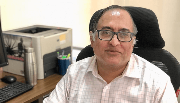
IIITH Registrar Prof. K S Rajan’s life-story can probably be seen as a string of life experiences, made extraordinary by a mind that sought to explore what lay beyond the ken. We look at his unique contribution to Geospatial technologies and allied domains through life events that shaped his world-view.
It has just been over a week since Prof. K S Rajan took over as Registrar of IIIT Hyderabad and he is already making waves. In the first order of business, the Institute is going through mandated changes to satisfy certain requirements for a deemed university. “As one of my colleagues put it, IIITH has always been an Institute developed by the faculty, with a sense of responsibility on how the institute grew as a key research driver in the Indian context. How we continue to maintain that thread of thinking across different levels and roles will be a key challenge”, notes Prof. Rajan who heads IIITH’s Lab for Spatial Informatics (LSI), the first of its kind in the sub-continent.
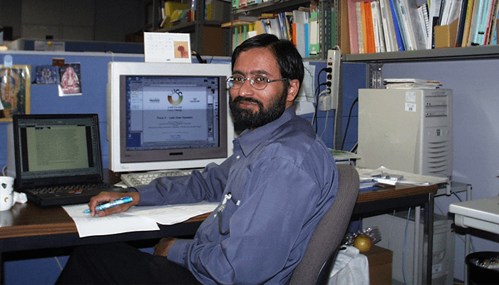
The young researcher who once covered over 1500 kilometers of Japanese countryside on his motorcycle has now traded in his biking gear for overnighters at the Lab and long walks on campus with Goldie, the labrador.
Habits of a multi-disciplinarian
Primarily a geospatial researcher, Prof. Rajan’s major interests lie in GIS (geographic information systems), remote sensing and its applications across various domains like urban planning, land use modelling and environmental policy. Under his stewardship, the Centre has developed a cross-disciplinary network, integrating GIS technologies with computer science, focusing on developing spatio-temporal data mining algorithms, web-based geospatial technologies or new algorithms to convert satellite imagery to useful satellite based thematic products. He is an active proponent of open source, having led a few initiatives in India.
With over 30 projects in a kitty that includes incubating start-ups, industry partnerships and e-governance initiatives, he has still made the time to publish over 130 papers in peer-reviewed journals and top conferences and given over 100 talks in a range of domains.
The Registrar is leading the efforts with colleagues for hosting the United Nations World Geospatial Information Congress by IIITH in association with GoI’s DST – NGP later this year, as part of IIITH’s silver jubilee celebrations and the Nation’s Azadi Ka Amrit Mahotsav.
Mission Kakatiya and other Water Tales
Hyderabad and its immediate surroundings has lost more than 4000Ha of water bodies in the last three decades, observes Prof. Rajan.
Mission Kakatiya, covering more than 38,000 water bodies, an on-going lake rejuvenation initiative at the Telangana state level received wide acclaim for its path-breaking efforts. IIITH has built the lake monitoring and management software system to identify Telangana’s lakes and tanks, with a full scale database containing location, status and challenges. “We conceptualized, designed and ran it for about three years, before handing it back to the ICAD department”, says the environmentalist. “We also trained them to use remote sensing data in a continuous way to monitor changes.”
In a consortium project with ISRO, the Centre looked at the land use and hydrology part of the Yamuna and Godavari river basins to analyze how the land changes affected water availability etc.
Additionally, concerted efforts are on to understand water quality in the network of India’s large inland water bodies, one of our key sources of potable water, using a combination of monitoring by satellite images and land use – water use integrated modelling.
Godavari and Krishna Pushkaralu becomes a trend-setter
The Maha Pushkaralu on the River Godavari was a once-in-144-year spiritual congress that was destined to leapfrog the LSI into media spotlight.
The AP government approached IIITH in 2015, to build solutions for tracking and understanding the pattern of attendance at the Godavari Pushkaralu. “Of the 170+ cameras, we tapped into 40 CCTV cameras on a continuous basis, uploading hourly updates on a web GIS dashboard, giving crowd statistics at the various ghats, predicting surge patterns and trend maps on crowd changes”.
Though the frenetic activity put the professor into hospital for most of the project, everything moved smoothly “since we roped in partners from Hyderabad and friends in the open source community,” he points out. Over 15 days, 15 million devotees visited 13 ghats, spread over a stretch of less than a kilometre.
AMRT and the crop fields of Sundargarh
“AMRT (Agri-Monitored Reengineering and Transformation) is a major collaborative project in the Sundargarh district with the Orissa government. Crop performance will be monitored on a regular basis, using machine learning applications and satellite inputs for data analytics to provide the state government with insights for agricultural, socio economic or policy-related interventions”, reports the researcher.
About preventing runway collision and Kargil war
For the aeronautics industry, LSI built design solutions “for which we have an MoU with the Airports Authority of India”, comments Prof. Rajan. For Rockwell Collins, the Centre helped demonstrate to FAA why runway collisions avoidance should become a part of aircraft systems for their FMS. For Honeywell, the entire navigational data for runway systems was converted into a GIS compliant model. And there is an ongoing effort with Industry at bringing more complex geospatial techniques to be adopted into Airside and Airspace operations.
Collaborations with DRDO in Dehradun helped the Defense department to quickly understand changes, strategic or tactical, over a short period of time. It is like playing the ‘Spot the change’ puzzle games over complex multi-resolution, multi-temporal images that highlights and geo-characterizes these changes.
The biodiversity spatial data infrastructure in the western Ghats was an interesting international project, funded by Asia Pacific network. “Apart from its multi-agency sourced data dashboard, the eight workshops that we organized with OSGeo-India, showed that people in the field can actually use mobile devices to contribute or use data for real-time awareness of on-ground events”.
For a DST-funded e-project with Adikavi Nannaya University in Rajahmundry, road networks, financial, hospitality and healthcare centres were mapped on a GIS platform with a view to train the civil authorities to use it.
Prof. Rajan was honored with the Indian National Geospatial Award in 2013, for a prodigious body of work. He pegs the prestigious Memorial lecture that he delivered at the Indian Cartography Association as a cherished professional memory. He is a member of several technical societies and guilds as an extension of his academic and research work.
Apart from his academic commitments, Prof. Rajan has worked as a start-up mentor. He is founder chairman of KAIINOS, a IIITH-CIE startup as well as a director at Couth Infotech, that works on audio-video codecs.
Journey to IIITH
Leading the NCC contingent of Kendriya Vidyalaya picket for the Republic Day parade was a high point for the gregarious youngster. During his B. Tech at IIT Kharagpur, the aspiring civil engineer was known as “the guy at the lab 24×7, running a core environmental engineering project, on heavy metal removal from industrial waste water”.
A fully funded government fellowship to the University of Tokyo would be an innocuous start to a packed schedule for the high achiever. During his Ph.D and extended post-doctoral years at Tokyo, Prof. Rajan would work in multiple positions including as scientific officer at the International office of land use land cover change.
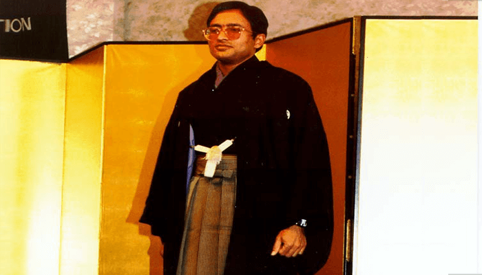
“When I wrote my Ph.D program, my models were running into thousands of lines of code and I realised that a pure engineering background was not enough and I would need to build new tools to bridge the gap. After 13 years in Japan, that thought process led me to visit Institutes in India and finally to IIIT Hyderabad,” he points out.
“What I liked most about IIITH was the freedom I was given to set up a research center, which would work in a cross disciplinary approach, bringing together people from different backgrounds”, observes the Registrar. “We teach fundamental courses in remote sensing, spatial informatics and an advance course in spatial data science. I teach more of the computing side of geospatial technology, focusing on building different set of algorithms”. The Registrar shares a personal story that speaks volumes about the ecosystem of collaboration and compassion at the Institute. “When I underwent a kidney transplant in early 2020 (days before the first COVID lockdown) and needed time to recover, our family got a groundswell of support from the IIITH community – Director, administration, and fellow quarter residents”.
That which maketh a geospatial researcher
Belonging to a progressive Iyengar family, from Mysore and Bangalore, the young man could speak several languages in his youth and would add Japanese to his skillset in later years. “The best way that I represent my parents in an academic sense is that my father was a geographer and my mother was Maths-Physics person. My father was my guide and philosopher and when I lost him, it was a major shock”, he says.
The professor unwinds by spending time with his wife Dr. Rashmi and their daughter Pratyusha, watching a movie or indulging in his childhood hobby of repairing gadgets around the house. During the pandemic, the professor became a hobby gardener, tending to a balcony garden on the first floor of their faculty quarters.
“The best way to live a calm life is to do the things that you are capable of, not building expectations of others or take things to heart”, he philosophises.
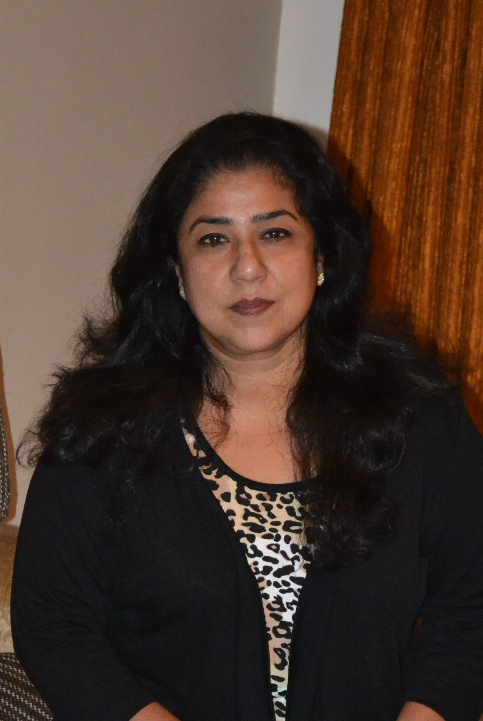
Deepa Shailendra is a freelance writer for interior design publications; an irreverent blogger, consultant editor and author of two coffee table books. A social entrepreneur who believes that we are the harbingers of the transformation and can bring the change to better our world.

Dear Team, Thanks for this very informative article on Rajan Sir. I know him officially and personally from Mar-2007 but this article allowed me to know many things which I do not know so far…We the staff of IIIT Hyderabad are very fortunate to work with such a great persons…With couple of meetings after sir took over as Registrar, we could learn many things while improving our thought process.. That’s the unique feature of the Faculty of IIIT Hyderabad..
Prabhakar Mootakoori says:Very well portrayed… I am in touch with Prof. Rajan since 2010. As far as I know, he has also lead IIIT in the international competition of “CANSat” which was a big deal in my opinion. I am sure, with the present responsibility he will certainly push the R&D boundaries much beyond.
Syed Maqbool Ahmed says: