
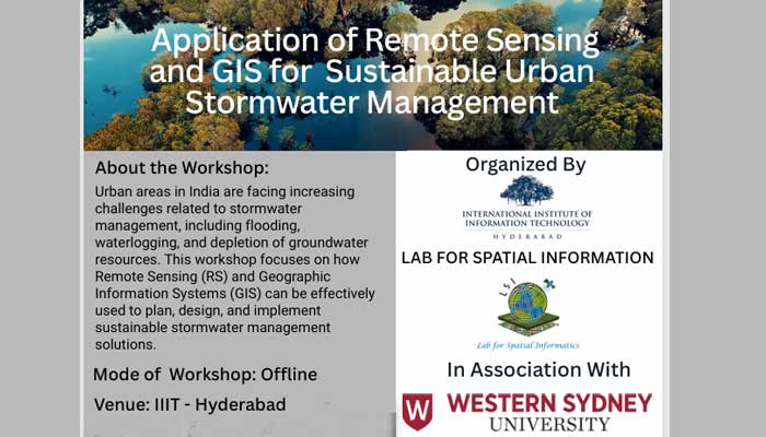
IIIT Hyderabad hosted a one-day for sustainable urban stormwater management on 2 Deworkshop on the application of Remote Sensing (RS) and Geographic Information Systems (GIS)cember. The event was organised by the Lab for Spatial Informatics (LSI) in collaboration with Western Sydney University, Australia, under the Scheme for Promotion of Academic and Research Collaboration (SPARC), funded by the Ministry of Education.
The workshop focused on emerging geospatial technologies and their role in addressing the growing stormwater management challenges faced by Indian cities—including flooding, waterlogging, and groundwater depletion. Speakers highlighted how RS and GIS can support the planning, design, and implementation of resilient and sustainable stormwater systems.
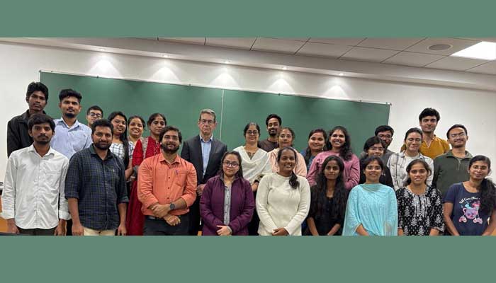
The guest speaker, Dr. Tony Ladson, a renowned Australian hydrologist from Victoria University, shared insights from Melbourne’s stormwater management practices and their relevance to rapidly urbanising regions in India.
The inaugural address was delivered by Prof. Shaik Rehana, after which faculty and researchers from various institutions conducted technical sessions.
- Prof. K S Rajan presented on GIS applications for flood management.
- Prof. Kuldeep Ramchandra discussed earth observation image mining for disaster situational awareness.
- Prof. Shruti Upadhyaya (IIT Hyderabad) gave a talk on remote sensing of precipitation.
- Prof. K Shashikanth (Osmania University) addressed hydrological applications for flood management.
Research scholars also showcased their ongoing work:
- Mr. Satish Kumar presented his study on urban flood modelling using SWMM, validated through IoT-based water-level sensors.
- Gangothri C J demonstrated a geospatial analysis of rainwater harvesting potential zones for Hyderabad.
The workshop featured breakout sessions, presentations, and interactive discussions, enabling participants to engage with current research and practical applications. In her concluding remarks, Prof. Shaik Rehana emphasized the need to integrate advanced geospatial technologies with hydrological modelling to build resilient and water-secure urban environments.
December 2025