

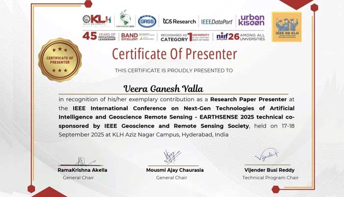
Dr. Veera Ganesh Yalla, Chief Technology Officer, iHub-Data and an Adjunct Faculty at IIITH presented a paper on A Decade of Wheat Mapping for Lebanon at the EarthSense 2025 – IEEE International Conference on Next-Gen Technologies of Artificial Intelligence and Geoscience and Remote Sensing Society held on 17 and 18 September at KL University, Aziz Nagar Campus, Hyderabad. The other authors of this paper are Hasan Wehbi, Earth Observation Department RASID SARL Beirut, Lebanon; Hasan Nasrallah, Earth Observation Department RASID SARL Beirut, Lebanon; Mohamad Hasan Zahweh, Faculty of Engineering Lebanese University Beirut, Lebanon; Zeinab Takach, Electrical and Computer Engineering Department American University of Beirut, Beirut, Lebanon and Ali J Ghandour, National Center for Remote Sensing National Council for Scientific Research Beirut, Lebanon.
Here is the summary of the research work as explained by the authors:
Wheat accounts for approximately 20% of the world’s caloric intake, making it a vital component of global food security. Given this importance, mapping wheat fields plays a crucial role in enabling various stakeholders, including policy makers, researchers, and agricultural organizations, to make informed decisions regarding food security, supply chain management, and resource allocation. In this paper, we tackle the problem of accurately mapping wheat fields out of satellite images by introducing an improved pipeline for winter wheat segmentation, as well as presenting a case study on a decade-long analysis of wheat mapping in Lebanon. We integrate a Temporal Spatial Vision Transformer (TSViT) with Parameter-Efficient Fine Tuning (PEFT) and a novel post-processing pipeline based on the Fields of The World (FTW) framework. Our proposed pipeline addresses key challenges encountered in existing approaches, such as the clustering of small agricultural parcels in a single large field. By merging wheat segmentation with precise field boundary extraction, our method produces geometrically coherent and semantically rich maps that enable us to perform in-depth analysis such as tracking crop rotation patterns over years. Extensive evaluations demonstrate improved boundary delineation and field-level precision, establishing the potential of the proposed framework in operational agricultural monitoring and historical trend analysis. By allowing for accurate mapping of wheat fields, this work lays the foundation for a range of critical studies and future advances, including crop monitoring and yield estimation.
Full paper: https://arxiv.org/pdf/2504.11366
A Decade of Wheat Mapping for Lebanon by Hassan Wehbi; Hasan Nasrallah; Mohamad Hasan Zahweh; Zeinab Takach; Veera Ganesh Yalla; Ali J. Ghandour
 October 2025