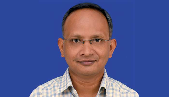
Dr. Rakesh Kiran Chand Thumaty joined as Associate Professor at Lab for Spatial Informatics (LSI). Dr. Kiran Chand Thumaty obtained his Ph.D in environmental remote sensing applications in the year 2007 (as an extramural researcher working in NRSC-ISRO) from Andhra University, Visakhapatnam. Since 2007, he has been working as a scientist in the National Remote Sensing Centre (ISRO), in the area of remote sensing applications in forestry and ecology. Apart from forestry and ecology, he has made significant contributions in the areas of remote sensing applications in atmospheric sciences, urban ecology, agriculture applications, night-time lights (socio-economic indicators for development), and land use, land use change, and forestry – Land Use, Land Use Change and Forestry (LULUCF) sector as part of India’s national communications to the United Nations Framework Convention on Climate Change (UNFCCC).
His contributions have resulted in more than 40 research publications in national and international journals and in more than 20 proceedings at international and national conferences/workshops. He worked as Scientist-F and Head of Forestry Resources Division, Forestry and Ecology Group, Remote Sensing Applications Area, National Remote Sensing Centre (NRSC, ISRO).
Dr. Kiran Chand is interested in applied remote sensing, terrestrial carbon cycle, greenhouse gas inventory and upscaling, essential climate variables (ECVs) in sustainable development, forestry and ecology.
January 2024

