
From geo-spatial solutions in natural conservation to playing a part in Project Tiger, find out all about Kaiinos.
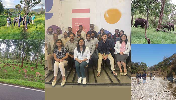
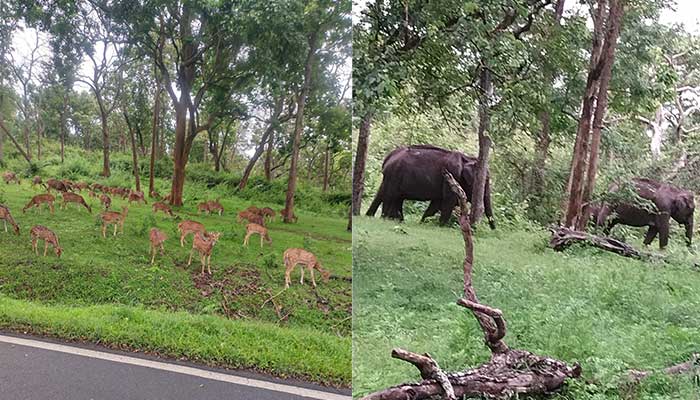
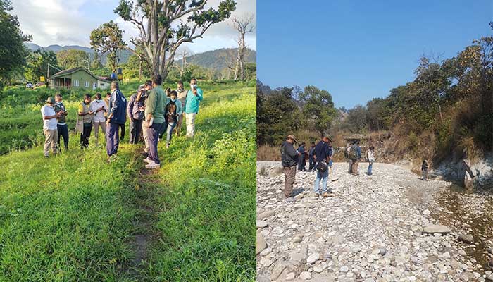
The Western Ghats region is an area that the Kaiinos team is well too familiar with, especially its natural habitat. “Did you know that there’s a certain type of deer which will eat only a certain kind of grass and then, there are some carnivores that eat only that kind of deer?,” asks Gowtham rhetorically. It’s the unavailability of that type of grass which can lead to an inevitable break in the food chain, he says, highlighting the importance of conserving the grass. The team’s expertise may lie in natural resource conservation but the ecological domain was entirely new to them when they initially started out.
As Masters students under Prof. K S Rajan at the Lab for Spatial Informatics, Sudeep, Gowtham Gollapalli, Kaushik, and Mahendra were involved in several geospatial consultancy projects for the government. “While IIITH was playing an advisory role to the government, there were some projects where implementation was needed. We sensed a need for a private entity to bridge the gap between advisory and implementation, and stepped in,” remarks Gowtham. It was to provide location-based solutions to suit the price-sensitive Indian market and diverse geographical conditions, that the startup Kaiinos was created. Kaiinos, derived from the Japanese ‘Kai’ stands for ‘innovation in open source’ and is a tribute to their guide and professor KS Rajan who obtained his Masters degree and a PhD from the University of Tokyo.
Early Undertakings
What began as an asset mapping exercise to document the extent of urban sprawl for the Delhi government soon turned into a steady focus on the environment and agriculture. A collaborative project in the Western Ghats with IIITH and the Open Source GeoSpatial Foundation led to the development of the first biodiversity SDI (Spatial Data Infrastructure) – to quantify the measure of species present as well as its abundance. They initially created small tools that could assist scientists and ecologists to collect data on specific aspects such as the biodiversity, richness index and so on. “There were so many people working on so many different things so it made sense to provide them with a platform and a space with the help of open source to access data and collaborate with each other,” remarks Gowtham. For scientists getting access to elaborate datasets that contain species information appropriately tagged with location information obtained from satellites is a challenge. Hence Kaiinos’ offering of processed datasets of the landscape with segregated information about the density of vegetation and more was the right fillip for correlating and planning conservation activities. Similarly, the founders discovered that in agriculture too, data was being collected on paper and filed out in spreadsheets. Plus, old sampling techniques relying on subjectivity were rampant. “We changed all this to location-based data capturing which is then correlated with the satellite data,” says Kaushik, adding that the broad data on soil, temperature, moisture and so on obtained via satellites is then tailored to meet customer requirements.
Their Part In Project Tiger
Much of media’s focus upon completion of 50 years of Project Tiger has been on the increase in the big cat’s numbers over the years. Tiger census happens in two phases – from ground-based surveys for choosing suitable sites to place camera traps and understand species richness. And secondly, from the camera footage itself. In the latter, images are collected, segregated via species and analysed. Tiger data is then extracted from this and correlated with other ground data before marking each tiger based on its stripes and other physical characteristics. “This was done even before we stepped in,” states Gowtham, “But the information generated was decentralised and available to individual forest departments. Collating it for landscape-based analysis was a challenge. The incremental thing we are doing is handling location data in a more structured way and setting up infrastructure for the conservationists so that they can do a much bigger analysis for landscapes.”
M-STriPES
Modest though the Kaiinos team may make it sound, they have created a comprehensive platform that goes beyond mere tiger numbers. Labelled M-STriPES, an acronym for Monitoring System for Tigers: Intensive Protection and Ecological Status, the platform uses ‘Global Positioning System (GPS), General Packet Radio Services (GPRS), and remote sensing, to collect information from the field, create a database using modern Information Technology (IT) based tools, and analyses the information using GIS and statistical tools to provide inferences that allow tiger reserve managers to better manage their wildlife resources’. With three different modules that the platform supports – patrol, ecological and conflict- data in the form of geotagged photos, observations made by field staff, assessment of habitat, recordings of details of attacks on humans, livestock, crop damage, and more flows from the app to the National Tiger Conservation Authority (NTCA) where the analysis is done.
Data on herbivores, carnivores and the habitat itself is integrated into a map and the richness (of the area) index is calculated. The startup builds a community matrix, a distance matrix, and an occupancy or intensity matrix giving stakeholders three outputs needed for their planning based on the data collected. So in the case of tigers, in addition to their overall numbers, it also translates into how many tigers per distance travelled, and how many tigers per area. Based on this data, the Wildlife Institute of India and the NTCA can monitor tiger movement and decide on where new corridors for them ought to be built and how existing corridors must be conserved.
Habitat Assessment
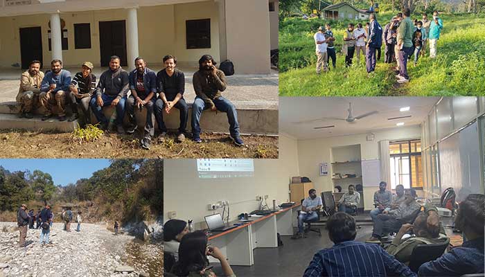
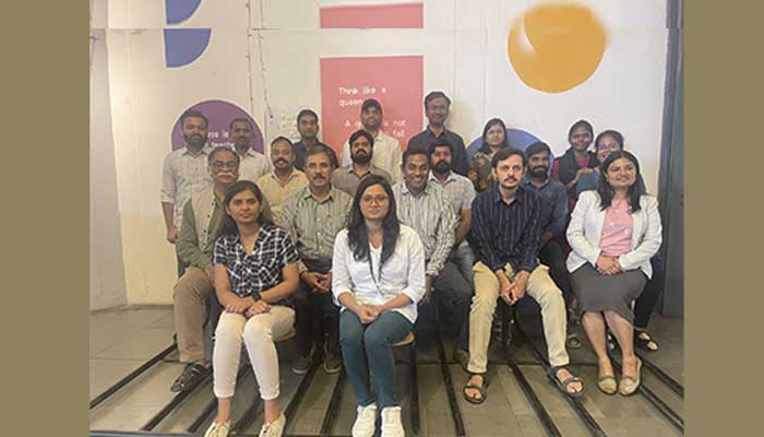
Emphasising that Project Tiger is just one of the many things they focus on, the Kaiinos team speaks at length about its complete habitat health assessment solution. “We are trying to build an entire stack from soil conservation to wildlife conservation. But before wildlife conservation there is forest conservation and before that there is water conservation and much before water is soil,” explains Kaushik. Crediting their dedicated team of 17 that is housed at CIE, Kaushik and Gowtham aver that their challenges have never revolved around technology. “It was the domain that threw us off. Though it is Math, its representation in the conservation space is completely different. Practically speaking, the Wildlife Institute of India hand held and taught us everything,” they say. With revenue coming in from the work done for the Open Source Foundation, the Lab for Spatial Informatics as well as the government, Kaiinos now has its sights set on expanding its scope in the Western Ghats region.

Sarita Chebbi is a compulsive early riser. Devourer of all news. Kettlebell enthusiast. Nit-picker of the written word especially when it’s not her own.
Well done Gowtham and team.Hearty congratulations.Wishing you many more achievements
Amareswari says: